Jacqueline Williams
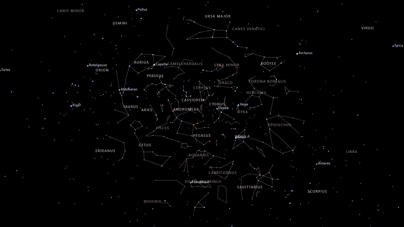
Planisphere
Planisphere
Interactive digital planisphere built with D3.js — rotate the sky wheel to explore constellations visible from any latitude on any night of the year.
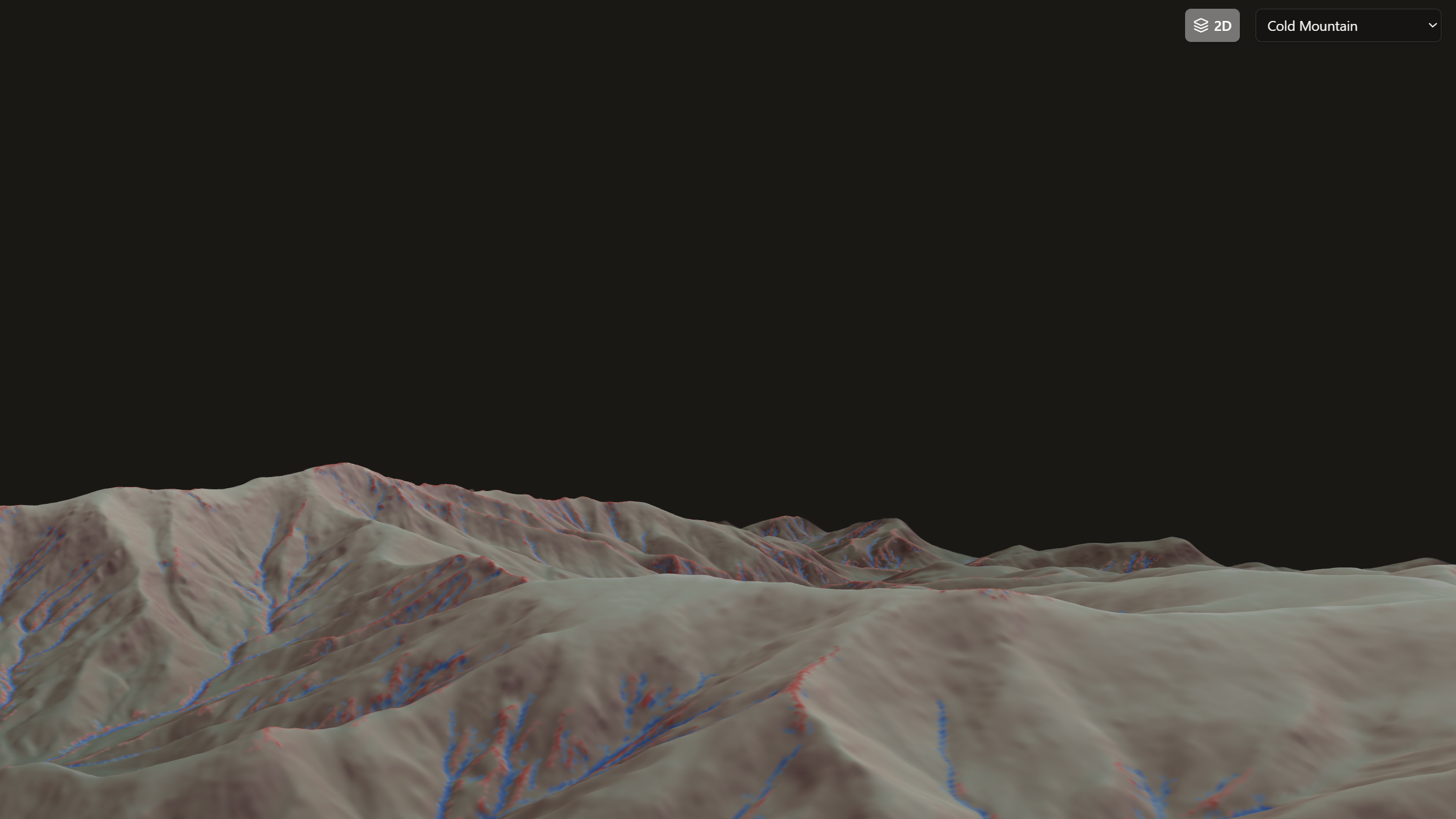
DTM Viewer
Digital Terrain Model Viewer
Browser-based viewer for high-resolution USGS GeoTIFF Digital Terrain Models. Visualise and analyse elevation data with hillshading, colour ramps, and contour overlays — no backend required.
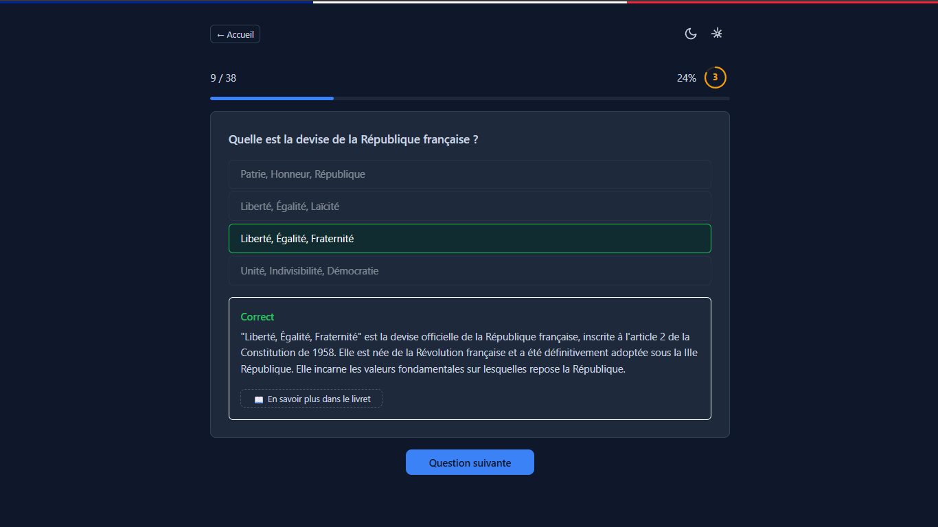
QCM France
Examen Civique
Interactive QCM exam simulation for civic knowledge — test your understanding of civics with dynamic questions and instant feedback.
Coming Soon
More projects are on the way.